
Cargando...
Atopa
visualización
Interactive map where you have to place correctly the seas of Europe.
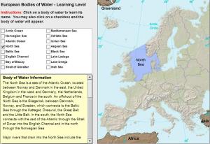
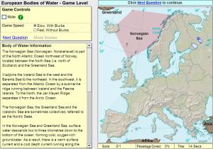
Learn the bays, seasand other ocean features around Europe by clicking on them.
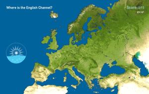
Click on the correct body of water.
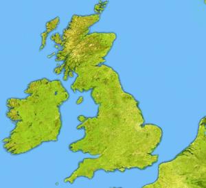
Try to locate on the map each given sea and island of the United Kingdom and Ireland.
Engadir a Didactalia Arrastra el botón a la barra de marcadores del navegador y comparte tus contenidos preferidos. Más info...


